On this page
Most cities hide their old dumps. Palo Alto turned its dump into a hilltop park with land art and some of the widest views in town. Byxbee Park is a set of low grassy hills near the east end of Embarcadero Road, just south of the Baylands nature center, with the open bay beyond. Walk up on a clear afternoon and you can see across the marsh to the East Bay hills, down the shore toward Mountain View and back over the city to the Santa Cruz Mountains.
It is not a park you visit for shade or flowers. You visit it for space, wind, light and a strange story. This guide covers that story, the art, the trails and how to fit a visit into a day at the Baylands.
From city dump to park
Palo Alto bought 40 acres of baylands in 1921 for refuse and sewage disposal. For decades trash was dumped on the marsh edge, as it was in many bay shore towns. In 1954 the site became a formal sanitary landfill with more modern operations. It kept growing until it reached capacity and closed in 2011, after about 60 years.
Planning for a park began long before the last load arrived. Sections of the landfill were closed and capped in phases. The first phase of Byxbee Park opened in 1991, covering roughly 30 acres. A 46-acre second phase opened in 2011. Final capping of the rest of the landfill was finished in 2015, when the expanded area opened as Byxbee Park Hills with walking trails. More features were added under an interim plan in 2016.
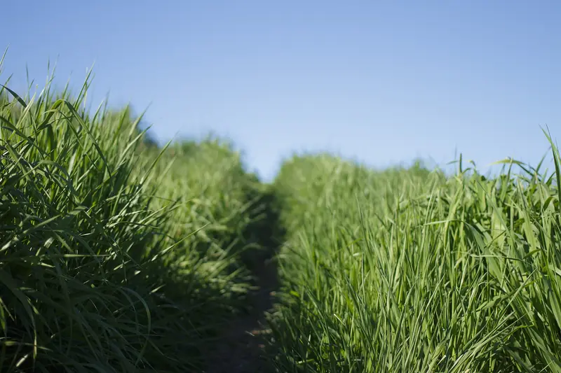
Under the grass is a layer of clay and soil sealing the waste below. That cap shapes everything about the park. There are no trees and no sprinklers, since roots and watering could break through. For years the landfill also produced gas. Starting in 1987 the city used it to generate electricity that was sold to PG&E. Generation stopped in 2004 when the gas levels dropped too low to run the plant efficiently.
The name honors John Fletcher Byxbee Jr., Palo Alto's city engineer from 1906 to 1941.

The land art
The original park was designed by the landscape architecture firm Hargreaves Associates with environmental artists Peter Richards and Michael Oppenheimer. The city's public art collection lists 11 art elements in the park: Trails, Shell Band, Chevrons, Land Gate, The Pole Field, Hillocks, Weirs, Hedgerows, Keyhole, the Wind Wave and the Arc Berms. Most of them are subtle. They were meant to shape how you move through the landscape rather than sit on it like sculptures.
The pieces you will notice
- The Pole Field. A grid of 72 wooden poles, like cut-off telephone poles, on a slope. Their tops are trimmed to a common height, so they form a flat plane against the rising ground. It is the most photographed spot in the park.
- Wind Wave. A 30-foot installation of poles and hanging ropes that moves and makes sound in the wind. The bay wind blows most afternoons, so it is rarely still.
- Chevrons. Rows of concrete highway barriers laid out as a giant chevron that pilots can read from the air. They also slow rain runoff down the slope. Palo Alto Airport is a short way to the north.
- Hillocks. Teardrop mounds along the ridge that recalled the shell mounds left by the Ohlone people on the bay shore.
Some of the original art did not survive. The landfill settled over the decades and the city made repairs and design changes in 2012 and 2013. Most of the hillocks were leveled. The oyster shell paths and the Keyhole, a white gravel shape visible only from the air, were buried. Many weirs were filled and a hedgerow was removed. The original design also included a flare that burned off methane from the waste below, a reminder of what lies underneath. Look at the park as a work in progress rather than a finished gallery.
Trails and walks
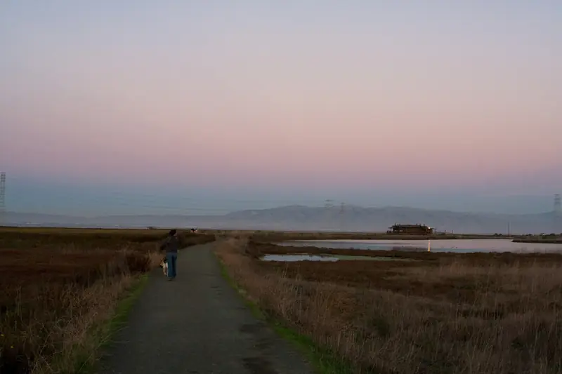
The city describes walking and bicycling trails through Byxbee Park. The paths are mostly gravel and packed earth. They climb gently over the hills and connect to the levees of the larger Baylands. No walk here is long. A loop over the hills and past the Pole Field takes 30 to 45 minutes at an easy pace.
- A short loop. Start near the Baylands entrance off Embarcadero Road, climb the hill to the Pole Field and Wind Wave, then circle back along the edge for views over the marsh.
- Add the shoreline. Continue down to the levee trails and follow the Bay Trail shoreline route north toward the nature center and boardwalk.
- By bike. Ride the levees and use Byxbee as a high point to stop for photos before heading south toward Mountain View.
There is no shade at all, so bring a hat in summer and a windbreaker most afternoons.
The views and the birds
Height is rare on the bay shore and Byxbee has it. From the top you look out over tidal marsh, sloughs and the open bay. On clear days you can pick out the East Bay hills, the Dumbarton Bridge to the north and the long line of the Santa Cruz Mountains behind Palo Alto. Small planes come and go from the airport nearby.
The grassland draws raptors and hawks often hunt over the hills. The surrounding marsh is part of one of the best birding areas on the West Coast, especially from late fall through early spring when ducks and shorebirds arrive. Our Baylands guide covers the birding seasons in detail.

Hours, parking and rules
Byxbee Park is part of the Baylands Nature Preserve and follows its rules. The preserve is open daily from 8 a.m. to sunset. Gates at the Byxbee Park Hills lot close at the times posted at the entrance. Parking is free. Check the city's open space alerts page for closures.
- Dogs are allowed on a leash no longer than six feet.
- Bikes are allowed on the trails. Helmets are required.
- Stay on the paths. The cap and the grassland habitat are both fragile.
- No drones, fires or smoking.
Good to know
- Wind picks up most afternoons. Mornings are calmer for walking and photos.
- Sunset is the best show, but watch the gate closing times.
- The regional wastewater plant is nearby. On some days you will notice it.
Nearby
Pair Byxbee Park with the boardwalk and Lucy Evans Baylands Nature Interpretive Center a few minutes north, or the Duck Pond at the end of Embarcadero Road. Cyclists can follow the Bay Trail south to Shoreline at Mountain View. For a different kind of open space, compare it with the grass and oak hills of Pearson-Arastradero on the other side of town. Visitors without a bike can compare bike rentals in the Bay Area and ride out along the shore. Our biking guide covers quiet routes from town and the weather guide explains when the bay wind is calmest. For every other park and preserve in the city, start at our outdoors guide.
Frequently asked questions
Is Byxbee Park really built on a landfill?
Yes. It sits on top of Palo Alto's former city landfill, which took the city's trash for about 60 years until it closed in 2011. The garbage was capped with clay and soil. That is why the park has no trees or irrigation, since roots and water could damage the cap.
What is the Pole Field at Byxbee Park?
It is a land art piece made of 72 wooden poles, like cut-off telephone poles, set in a grid. The tops are trimmed to a common height so they form a level plane against the sloping hill. It is one of 11 art elements created for the park by Peter Richards and Michael Oppenheimer.
Who is Byxbee Park named after?
It is named for John Fletcher Byxbee Jr., who served as Palo Alto's city engineer from 1906 to 1941.
Are dogs allowed at Byxbee Park?
Byxbee Park is part of the Baylands Nature Preserve, where dogs are allowed on a leash. In city open space the leash can be no longer than six feet. Dogs are not allowed on the trails around the Renzel Ponds elsewhere in the Baylands.
Can you bike at Byxbee Park?
Yes. The city describes walking and bicycling trails in the park and the shoreline route of the San Francisco Bay Trail passes by it. Helmets are required on preserve trails.