On this page
The bay shore east of Highway 101 is the flattest, windiest and most open landscape around Palo Alto. The San Francisco Bay Trail runs right along it. In the space of an hour on a bike you can cross a boardwalk over salt marsh in East Palo Alto, watch pelicans in the Palo Alto Baylands, climb the grassy landfill hills of Byxbee Park and roll into Shoreline at Mountain View. There are no cars and almost no hills.
This guide covers the Bay Trail segments closest to Palo Alto, from Menlo Park in the north to Mountain View in the south. It explains where to get on, what the surfaces are like and how far things are, in general terms. Exact distances depend on your route, since the trail often splits into parallel paths.
What the Bay Trail is
The Bay Trail is a regional project to build a continuous path around the whole of San Francisco and San Pablo bays. The plan calls for about 500 miles of trail. As of 2024 more than 350 miles were complete, according to the Metropolitan Transportation Commission, which runs the Bay Trail project. Work has been going on since 1989.
The trail is not one park. It strings together land owned by dozens of cities, counties, special districts and private owners. That means rules, hours and surfaces change as you cross from one place to the next. Look for Bay Trail signs to stay on route and read the local signs at each entrance. The project's official FAQ page covers general questions.
Menlo Park: Bedwell Bayfront Park
The northern anchor of the local Bay Trail is Bedwell Bayfront Park at 1600 Marsh Road in Menlo Park. The 160-acre park is surrounded on three sides by the Don Edwards San Francisco Bay National Wildlife Refuge. A relatively flat 2.3-mile trail around its perimeter is part of the Bay Trail. Steeper paths climb the interior hills, which are built on a former landfill. From the top knoll you get a 360-degree view of salt ponds, marsh and the bay.
Gates open at 7 a.m. daily. Closing time changes with the season, from 5:30 p.m. in December to 9 p.m. in June and July. Dogs are welcome on a leash. Check the City of Menlo Park park page before you go.
East Palo Alto: Ravenswood and University Avenue
South of Bedwell Bayfront the trail passes through Ravenswood Open Space Preserve, managed by the Midpeninsula Regional Open Space District. For years a short gap here broke the route. In August 2020 a new 0.6-mile segment opened with a boardwalk and bridge over the wetlands and an overlook with benches and signs. The district says closing it created about 80 continuous miles of Bay Trail from Menlo Park to Sunnyvale and across the Dumbarton Bridge.
A trailhead on University Avenue in East Palo Alto connects to the boardwalk. Parking for Ravenswood is only at the main preserve entrance on Bay Road, so most people arrive on foot or by bike. From there the trail continues south past Cooley Landing toward San Francisquito Creek, the border with Palo Alto.
Palo Alto: the Baylands
At San Francisquito Creek the trail splits in two.
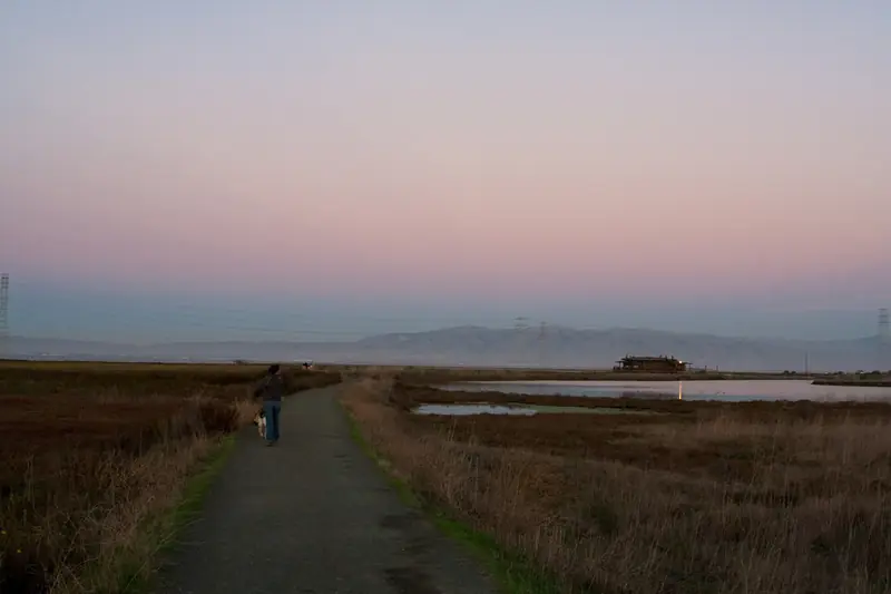
- The shoreline route runs on gravel levees into the Palo Alto Baylands Nature Preserve. It passes the Lucy Evans Baylands Nature Interpretive Center, the EcoCenter and Byxbee Park. This is the scenic choice, with marsh on both sides and birds everywhere.
- The inland route stays paved. It follows streets and then runs along East Bayshore Road beside Highway 101. It is faster on a road bike and works when the levees are muddy. Near it stands the sculpture Bliss in the Moment, dedicated to a former Bay Trail board member.
The Baylands are the best place to start a Bay Trail outing from Palo Alto. Drive or ride east on Embarcadero Road past Highway 101 to the free lots near the nature center and Duck Pond. The preserve is open from 8 a.m. to sunset and bikes need helmets on preserve trails.

Getting there from south Palo Alto
Since November 2021 the Highway 101 bicycle and pedestrian bridge has given south Palo Alto a year-round link to the shore. It crosses the freeway between West and East Bayshore Roads near Adobe Creek and connects to the Baylands, Byxbee Park and the Bay Trail. The Adobe Reach Trail, which opened a month earlier, links West Bayshore Road with East Meadow Drive. From Mitchell Park the shore is now a short ride.
Mountain View: Shoreline and Stevens Creek
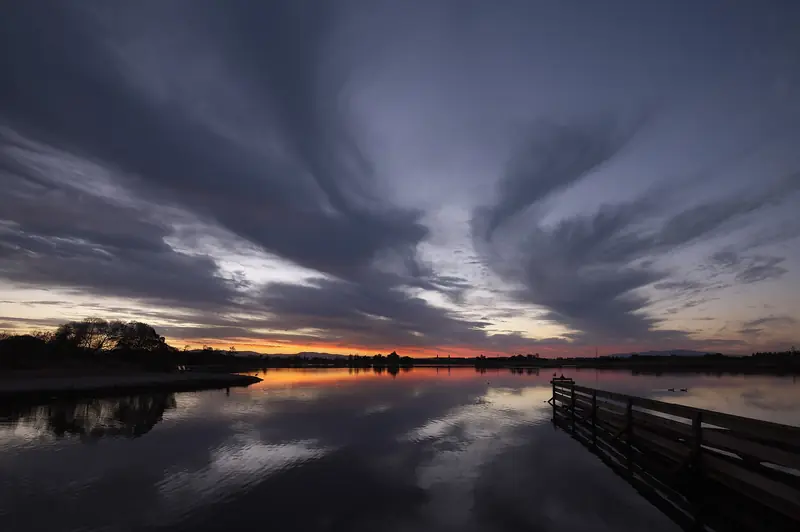
South of the Palo Alto Baylands the trail continues into Shoreline at Mountain View, a large regional park along the bay. A paved path runs the length of Shoreline, past the historic Rengstorff House to the Stevens Creek Nature Study Area. Shoreline Lake sits in the middle and is a classic sunset spot.
At Stevens Creek you can turn inland on the Stevens Creek Trail, which runs about 5 miles south to downtown Mountain View and beyond. Or keep going along the shore. A natural surface path behind Moffett Field gives views of the former Navy base and its huge airship hangar, then the trail carries on toward Sunnyvale Baylands Park.
Shoreline Park itself does not allow dogs. A dog park sits at the corner of Shoreline Boulevard and North Road, just before the park entrance.

Suggested outings
| Outing | Start | Length | Surface |
|---|---|---|---|
| Bedwell Bayfront loop | 1600 Marsh Road, Menlo Park | About 2.3 miles | Mostly unpaved, flat |
| Ravenswood boardwalk | University Avenue trailhead, East Palo Alto | Short out-and-back | Boardwalk and path |
| Baylands levees and Byxbee hills | End of Embarcadero Road, Palo Alto | 2 to 5 miles | Gravel and boardwalk |
| Palo Alto to Shoreline | Palo Alto Baylands | A few miles each way | Gravel, then paved |
| Long ride | Cooley Landing, East Palo Alto | Nearly 15 miles to Sunnyvale Baylands Park | Mostly natural surface |
The long ride figure comes from the Bay Trail's own map notes for the route from Cooley Landing to Sunnyvale Baylands Park. Add the return trip and you have a solid half day on a bike with almost no climbing.
Tips for the Bay Trail
Good to know
- Wind. It blows from the northwest most afternoons. Ride into it first so it helps you home.
- Sun. There is no shade on the levees. Bring water, sunscreen and a hat.
- Mud. Gravel levees turn sticky after winter rain. Use the paved inland route or wait a day or two.
- Closures. Sections close for levee work, construction or flooding. Check local city pages or 511.org before a long ride.
- Etiquette. Paths are shared. Ring a bell, pass slowly and give birders with scopes some room.
Weather on the bay shore is often cooler and breezier than downtown. Our weather guide explains the patterns. For riding in town and getting to the trail on quiet streets, see our biking guide. If you are visiting without a bike, you can compare bike rentals in the Bay Area.
More on the shore
The Bay Trail is the spine of the outdoors on Palo Alto's east side. Spend time at the Baylands Nature Preserve for the boardwalk and birds, then climb the hills of Byxbee Park for the view. For hills of the other kind, see our hiking guide to the foothills and the Santa Cruz Mountains.
Frequently asked questions
Where can I get on the Bay Trail in Palo Alto?
The easiest start is the Baylands Nature Preserve at the east end of Embarcadero Road, which has free parking. You can also reach it from south Palo Alto over the Highway 101 bicycle and pedestrian bridge between West and East Bayshore Roads.
How long is the Bay Trail?
The full trail is planned as a 500-mile ring around San Francisco and San Pablo bays. More than 350 miles are built. Around Palo Alto the route is continuous for many miles, from Menlo Park south through Mountain View toward Sunnyvale.
Is the Bay Trail paved near Palo Alto?
Partly. The shoreline route through the Palo Alto Baylands is mostly gravel on levees, while the path through Shoreline at Mountain View is paved. A paved inland alternative follows streets and East Bayshore Road. Any bike with reasonable tires handles the gravel when it is dry.
Can you bike from Palo Alto to Mountain View on the Bay Trail?
Yes. Ride south from the Palo Alto Baylands past Byxbee Park and continue along the shore into Shoreline at Mountain View. It is a flat ride of a few miles each way. Expect headwinds on most afternoons.
Are dogs allowed on the Bay Trail?
It depends on who manages each section. Dogs are allowed on leash in the Palo Alto Baylands except on the Renzel Ponds trails and on leash at Bedwell Bayfront Park in Menlo Park. Shoreline Park in Mountain View does not allow dogs, though there is a dog park at its entrance.