On this page
Hopkins Creekside Park is less a destination than a walk. It is a narrow strip of lawn, trees and footpaths that follows San Francisquito Creek along Palo Alto Avenue at the northern edge of the city. On one side are the bungalows and cottages of Downtown North. On the other, behind fences and old floodwalls, the creek that divides Santa Clara County from San Mateo County runs toward the bay.
The city puts the park at approximately 12.4 acres, about 1.5 miles long and 200 feet across at its widest. Its official name is Timothy Hopkins Creekside Park, after the man who laid out the town that became Palo Alto. This guide covers where it runs, what you will find, the competing accounts of how the city got it, the flood history that shapes it and the best ways to fold it into a walk.
Where the park runs
The city's page gives the location simply as Palo Alto Avenue. It calls the park "a narrow strip of mostly undeveloped land along the banks of San Francisquito Creek," about 1.5 miles long and at its widest 200 feet. Older city listings place it roughly from El Camino Real to Middlefield Road. In practice it reads as a chain of green pieces: lawns, groves and paths between the avenue and the creek fence.
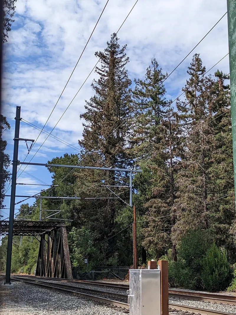
The west end meets El Palo Alto, the ancient redwood beside the Caltrain bridge at Alma Street that gave the city its name. Tiny El Palo Alto Park surrounds the tree. From there the creekside strip runs east past the residential blocks of Downtown North, whose streets end at Palo Alto Avenue.

What you will find
The city's page lists picnic tables, bicycle trails and walking trails. Older city listings describe three grassy areas with benches and tables. A 2026 history of the park describes valley oaks and California buckeyes along an irregular path that follows the creek. Put together, expect:
- Shaded lawns at intervals along Palo Alto Avenue.
- Picnic tables, plus benches in older listings.
- Walking and bicycle trails that loosely follow the creek fence.
- Mature trees, which keep the strip noticeably cooler than the streets on a hot afternoon.
The city's page lists no playground, no restroom and no sports court. That is part of the appeal. It is one of the few parks in Palo Alto where nothing is scheduled.
Birders like the strip too. Our Downtown North guide notes it is good for spotting birds along the creek. Bring binoculars on a winter morning when the trees are bare.
Timothy Hopkins and the gift
Timothy Hopkins bought farmland in 1887 from the Seale family and laid out University Park, the townsite that became Palo Alto. He stayed involved in the young city and served as president of the Stanford board of trustees from 1908 to 1914. He died on January 1, 1936.
How the creek strip passed to the city depends on which source you read. Our history of the founding, Wikipedia's article on Hopkins and a 2026 history of the park all say that Timothy Hopkins and his wife gave the land as parkland in 1907. The 2001 San Francisquito Creek Watershed marker at El Palo Alto Park says instead that when Hopkins died in 1936 he left the city a strip of creekside land, "which many years later became the Timothy Hopkins Creekside Park." Both may be partly right if the land came in pieces. We could not settle it from city records.
Either way, the purpose was the same: to keep a green buffer between the new town and the creek. That decision looks wiser after every big storm.
A park on a flood creek
San Francisquito Creek is the most dangerous waterway in Palo Alto. On February 3, 1998, it reached about 7,200 cubic feet per second at the Stanford gauge, the flood of record. The creek authority says that storm damaged about 1,700 properties in Palo Alto, Menlo Park and East Palo Alto. On December 31, 2022, it peaked at about 6,340 cubic feet per second, the second highest flow on record.
The 1998 flood led five agencies to form the San Francisquito Creek Joint Powers Authority in 1999. Its work continues along this stretch. The authority plans to replace the undersized Pope-Chaucer Bridge between Palo Alto and Menlo Park once work downstream is finished. The city broke ground in May 2026 on a new Newell Road bridge to replace the 1911 span. Our pages on San Francisquito Creek and the 1998 flood tell the full story.
Good to know
- Stay off the creek banks. They are steep and the water rises fast in winter.
- During storm warnings, avoid the creekside paths altogether.
- Palo Alto sets out sandbag stations in winter. See our guide to rain and storm season.
Hours and rules
Posted hours on the city's page are sunrise to sunset. The municipal code sets a 10:30 p.m. closing for city parks. It also bans alcohol outright in Timothy Hopkins Creekside Park, with no permit option. Dogs must be on a leash. Drones are banned in city parks. Notices appear on the city's Hopkins Creekside Park page.
A creek walk from the train
The park works best as part of a loop from the Palo Alto Caltrain station. This one takes about an hour at an easy pace:
- From the station, walk north on Alma Street to El Palo Alto Park and the tall tree.
- Read the creek history markers near the pedestrian bridge.
- Follow Palo Alto Avenue east beside the creekside strip, stepping into the lawns and groves as you go.
- Turn south on Waverley Street to Johnson Park, which has a playground and a community garden.
- Finish on University Avenue for coffee or lunch.
Spring and fall are the best seasons for this walk. Summer afternoons are pleasant in the shade, while winter brings bare branches, better bird views and the occasional storm closure. The route is flat and mostly shaded. With a stroller, stick to the sidewalk on Palo Alto Avenue where the park paths are rough.
What is nearby
Downtown North is a few minutes from University Avenue's restaurants and cafes. Across the creek lie Menlo Park and East Palo Alto. To the east the creek continues past the larger homes of Crescent Park.
Downtown North homes are in the Palo Alto Unified School District. Assignments change, so families should check the district's school finder rather than rely on distance to the nearest campus.
Parking near the park is on residential streets, some of them under the downtown residential permit program. Read the signs for time limits before leaving a car. Arriving by train or bike avoids the issue entirely, since the station is a few blocks away. Bryant Street, the city's main bike boulevard, runs north through Downtown North toward the creek.
For a longer outing, Rinconada Park and the Junior Museum and Zoo are a short bike ride south on Middlefield Road.
Frequently asked questions
Where is Hopkins Creekside Park?
It runs along the Palo Alto bank of San Francisquito Creek beside Palo Alto Avenue, at the north edge of Downtown North. It is a long, narrow strip rather than a single block, so you can enter it at many points along the avenue.
Who gave Palo Alto Hopkins Creekside Park?
Timothy Hopkins, who laid out the University Park townsite that became Palo Alto. Most accounts, including Wikipedia, say he and his wife gave the land to the city in 1907. A 2001 creek history marker says instead that he left the strip to the city when he died in 1936.
Does Hopkins Creekside Park have a playground?
No. The city's page lists picnic tables and walking and bicycle trails, with no playground or restroom. Families usually pair a creek walk with Johnson Park at 268 Waverley Street, a few blocks south, which has a playground and a basketball court.
Can you walk down to San Francisquito Creek from the park?
The banks are steep and lined in places with floodwalls. The creek can rise very fast in winter storms. Enjoy it from the paths and stay off the banks, especially after rain.
Is alcohol allowed in Hopkins Creekside Park?
No. The municipal code lists Timothy Hopkins Creekside Park among the city parks where drinking alcohol is banned outright.