On this page
North of Half Moon Bay, Highway 1 passes two quiet towns that most drivers barely notice. Montara is a village of cottages climbing the slope of Montara Mountain, with a long state beach below. Moss Beach, just south, is built around a rocky shoreline that at low tide becomes one of the richest tide pool areas on the California coast. Between them, an old lighthouse station now houses a hostel.
From Palo Alto, the pair makes an excellent half day, especially for families with kids who like crabs and sea stars. The trick is to plan around the tides. This guide covers getting there, the history of both towns, the Fitzgerald Marine Reserve and its access changes, Montara State Beach, the mountain trail, the lighthouse, food and why they are worth the drive.
Where they are and how far
Montara and Moss Beach are unincorporated communities in San Mateo County, on the Midcoast between the Devil's Slide tunnels to the north and El Granada to the south. San Mateo County runs planning and zoning, with an elected Midcoast Community Council advising the Board of Supervisors. Montara had 2,833 residents and Moss Beach 3,214 in the 2020 census.
From downtown Palo Alto it is about 30 miles. Outside rush hour the drive takes 40 to 50 minutes either way you go.
Getting there from Palo Alto
By car
Take Interstate 280 north to Highway 92, follow it west over the hills to Half Moon Bay, then drive about 7 miles north on Highway 1 through El Granada and Moss Beach. Alternatively, take Interstate 280 north to Highway 1, go south through Pacifica and the tunnels. Come home over Highway 92. Our coast routes guide explains both roads and traffic.
By transit
SamTrans Route 117 runs along Highway 1 between the Linda Mar Park and Ride in Pacifica and Half Moon Bay, serving Montara, Moss Beach and El Granada every day. From Palo Alto, ride Caltrain to Hillsdale in San Mateo and take SamTrans Route 294 to Half Moon Bay, then transfer north on Route 117. Check the SamTrans schedules page, since buses are not frequent.
A short history
The Whitney Survey called the area "Montoro" in 1867. The U.S. Coast Survey used the name Montara in 1869. Its origin is unclear; it may be a garbled Spanish word for mountainous or wild country. After several ships ran aground in the late 1860s, a fog signal station opened at Point Montara in 1875. A commercial flower farm started in 1900.
The Ocean Shore Railroad reached the Midcoast in 1905. It built a hotel beside its Montara station. Weekend visitors came out from San Francisco. Moss Beach was already a small resort, with its first hotel built in 1881 by Juergen Wienke. The railroad went bankrupt and stopped running in 1920, but the Montara hotel survives, much remodeled, between Highway 1 and Main Street. The Montara Grammar School opened in 1915. Its two-story building is now a community center.
Roads came next. Pedro Mountain Road, California's second paved highway, opened in 1914. In 1937 Highway 1 replaced it on the old railroad route across Devil's Slide, which landslides closed again and again until a tunnel opened in 2013. The Navy trained anti-aircraft crews at Point Montara during World War II. Real growth came after 1950, yet most Montara streets stayed dirt or gravel until the early 1990s.
Fitzgerald Marine Reserve
The reserve at 200 Nevada Avenue in Moss Beach protects a rocky shore full of algae, crabs, sponges, sea stars, mollusks and fish. It sits inside the Montara State Marine Reserve, a protected area under the state's Marine Life Protection Act. A bluff-top trail runs through a cypress grove above the beach.
Access change in 2026
- San Mateo County Parks closed the ramp from the parking lot to the tide pools indefinitely on August 26, 2026, after it was damaged.
- To reach the beach, walk the California Coastal Trail from the lot to Cypress Avenue, about 0.3 miles, turn right and take the Seal Cove stairs down.
- Check the reserve page for updates before you go.
Time your visit for a low tide, ideally a negative tide. Arrive an hour before the lowest point. Winter low tides often fall in daylight in the afternoon. Wear shoes with grip, since the rocks are slick. Do not collect, turn over or remove anything. Rangers run school programs. The county also lists public events such as "Exploring Plankton and Friends" on November 14, 2026.
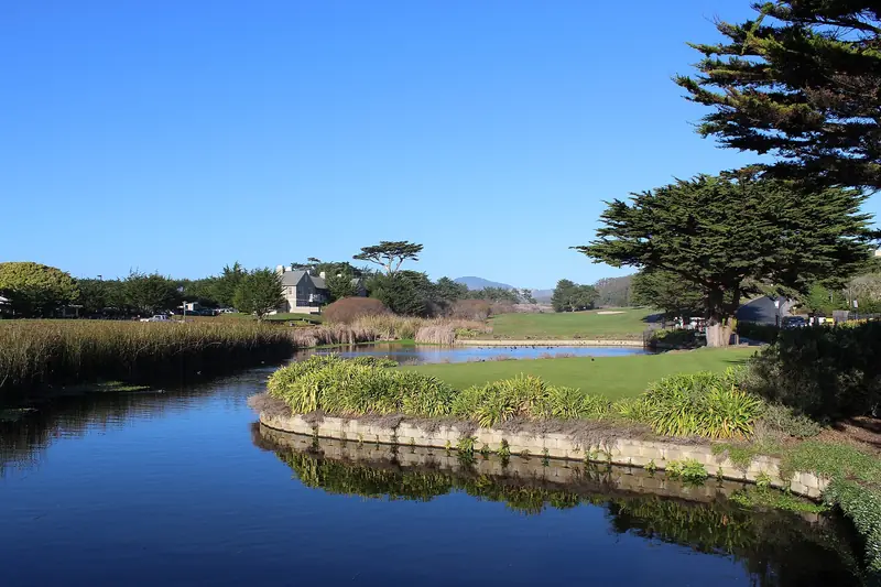

Montara State Beach and Montara Mountain
Montara State Beach is a sandy beach of nearly a mile framed by rocky outcrops. State Parks lists hours of 8 a.m. to sunset and allows dogs. There are two access points from the bluff: one across from Second Street and one about half a mile north. The beach drops steeply into the surf, which makes swimming hazardous. Experienced surfers use it. Winter swells of 10 to 15 feet are common.
Across the highway, trails climb through the McNee Ranch area and the Rancho Corral de Tierra open space toward the summit of Montara Mountain, about 1,898 feet high. The route follows a gravel fire road and is steep. On clear days the views reach across the ocean and down the coast. Our hiking guide rates it against hikes closer to Palo Alto. Our beaches guide covers the state beaches farther south.
Point Montara Lighthouse and the hostel
Point Montara Light still works as a Coast Guard aid to navigation. The cast-iron tower was brought from Wellfleet Harbor on Cape Cod in the 1920s. The old keeper's buildings now form HI Point Montara Lighthouse, a hostel at 8800 Cabrillo Highway with dorm beds, private rooms and suites for families and groups, guest kitchens and parking included for guests. Pets are not allowed. The hostel asks visitors to stop at the office before walking the grounds. Palo Alto itself has no hostel, so this is the nearest budget stay with an ocean view; you can check beds at Point Montara or see our budget stays guide.
Food and drink
Choices are few, which is part of the charm. The best known is the Moss Beach Distillery, a cliff-top restaurant whose roots go back to Prohibition bootlegging. The building is a California Point of Historical Interest. Its site describes an ocean view from every table, a heated patio with fire pits that welcomes dogs and a weekday happy hour from 5 to 7 p.m. It claims to be haunted; a TV ghost-hunting show later reported that past owners had staged effects. The two towns have only a handful of other places to eat. For more choice, Princeton-by-the-Sea and Half Moon Bay are 10 minutes south.
Why a Palo Alto visitor might go
- Tide pooling. Fitzgerald is the best tide pool site within an hour of Palo Alto.
- Ocean views without crowds. The beaches are quieter than Half Moon Bay on most weekends.
- A night by a lighthouse. The hostel suits families, groups and solo travelers on a budget.
- A coast loop. Pair it with Princeton-by-the-Sea and its harbor, then return over Highway 92 to Half Moon Bay.
Practical tips
- Fog is common all year. September and October bring the clearest days. See our weather guide.
- Parking at the reserve is limited on sunny weekends at low tide.
- Cell service can be patchy on the bluffs; download maps first.
- Never turn your back on the ocean on the beaches or the reef.
Frequently asked questions
How do I get down to the tide pools at Fitzgerald Marine Reserve?
The ramp from the reserve parking lot to the tide pools was damaged and has been closed indefinitely since August 2026, San Mateo County Parks says. Walk the California Coastal Trail from the parking lot to Cypress Avenue, about 0.3 miles, turn right and take the Seal Cove stairs down to the beach.
When is the best time to see the tide pools?
Go at a low tide, ideally a negative tide. Arrive about an hour before the lowest point. Check a tide table before you leave Palo Alto. Look closely but do not touch, collect or move animals and rocks, since the reserve lies inside the Montara State Marine Reserve.
Can anyone stay at the Point Montara Lighthouse hostel?
Yes. HI Point Montara Lighthouse at 8800 Cabrillo Highway offers dorm beds, private rooms and suites for independent travelers, families and groups. Parking is included for guests. Pets are not allowed, though service animals are. Visitors should check in at the hostel office before walking the grounds.
Are dogs allowed at Montara State Beach?
Yes. California State Parks lists Montara State Beach as dog friendly, with hours of 8 a.m. to sunset. The beach drops steeply into the ocean and is hazardous for swimming, so keep dogs and children away from the surf line.
How do I get to Montara or Moss Beach without a car?
SamTrans Route 117 runs along Highway 1 between the Linda Mar Park and Ride in Pacifica and Half Moon Bay, stopping in Montara, Moss Beach and El Granada. From Palo Alto, ride Caltrain to Hillsdale and take SamTrans Route 294 to Half Moon Bay, then transfer to Route 117.